Thousand Island Shipwrecks is 3D models of shipwrecks and various buildings lying in the Thousand Islands area of the St Lawrence River.
Two techniques were used to create the 3D models offered on this site.
The field survey
This involves making measurements of the object to be modeled in 3D, and then creating the model using specialized software.
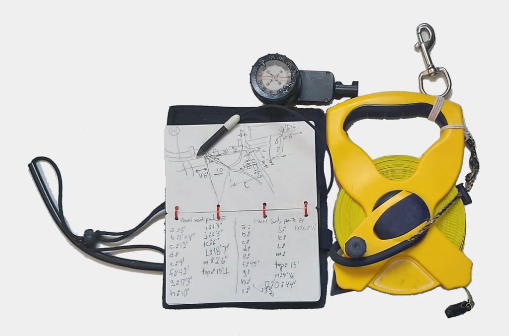
This technique uses simple instruments such as the measuring tape, the compass, the depth gauge (that of the dive computer is fine) stakes and a notebook.
It requires a lot of time spent underwater, good diving technique, expertise in handling the 3D creation software. The open source software Blender was used here.
Photogrammetry
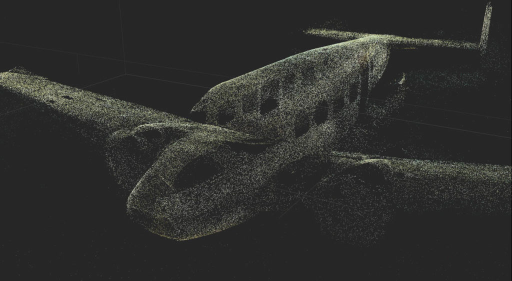
A 3D point cloud is generated with a specialized software from thousands images taken underwater. It is then converted into a 3D model.
This technique makes it possible to create a reproduction faithful to the original in every detail, and with surface textures very close to reality.
However, it requires technical expertise for image capture and software manipulation, very large file storage capacities (up to several terabytes – thousands of gigabytes) and strong computing power.
The files of these models are also available for free from the Github repository: github.com/thousand-islands-shipwrecks.


