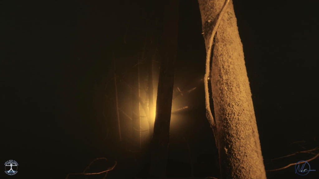
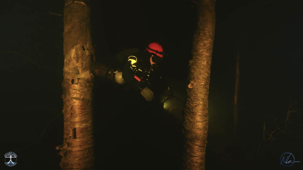
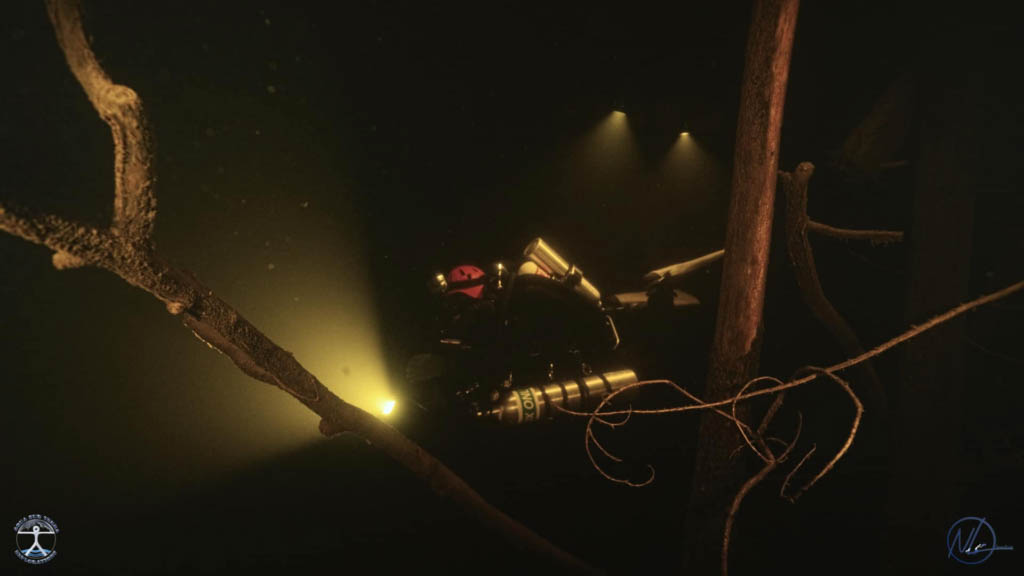
“The Manicouagan Impact is to dive into the dark, the dark waters of the reservoir, the dark side of our relationship with nature, the stories that lead to the confusion between pride and deprivation, of a forgotten and mysterious territory, we want to bring to light as a final gesture :: simply human to pay homage to this northern forest and this world of the living.
On my last dive I turned off the lights to let myself cradle in this infinity that still invites me to continue my exploration there.“
Nathalie Lasselin @ Urban Water Odyssey
Manicouagan Reservoir
Manicouagan Reservoir (also known as Lake Manicouagan) is a 1,942 km annular lake in central Quebec, Canada (750 sq mi). René-Levasseur Island is located in the centre of the lake, and Mount Babel is its highest point. The structure was formed 214 million years ago, in the Late Triassic, by the impact of a 5 km (3 mi) in diameter meteorite. The lake and island can be seen from space and are sometimes referred to as the “Eye of Quebec.” The lake’s volume is 137.9 km (33.1 cu mi).
The reservoir is in Manicouagan Regional County Municipality in the Côte-Nord region of Quebec, Canada, about 300 kilometres (190 miles) north of the city of Baie-Comeau, though its northernmost part is in Caniapiscau Regional County Municipality. Quebec Route 389 runs along the lake’s eastern shore.
It is one of the oldest impact craters known. According to research, the impact melt within the crater is 214 million years old. The impact that created the crater cannot have been the cause of the Triassic-Jurassic extinction event because it occurred 12 2 million years before the end of the Triassic.
Thanks to Natalie Nasselin for her photo contributions.
Follow Natalie’s Scuba Adventures on Facebook.


