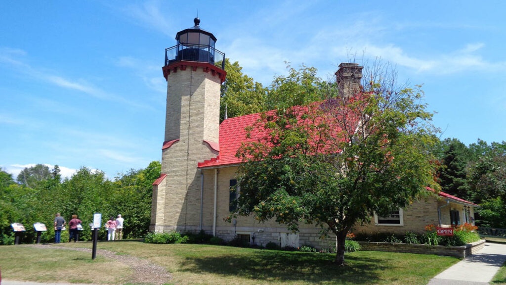
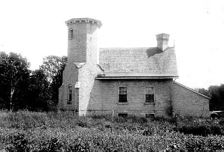
The McGulpin Point Light was built to aid navigation through the Straits of Mackinac. The light began operations in 1869, making it one of the Straits’ oldest surviving lighthouses. The light, which was only in operation until 1906, is located on McGulpin Point (500 Headlands Road), about 3 miles (4.8 km) west of Fort Michilimackinac.
The United States Lighthouse Board completed the McGulpin Point Light, a true lighthouse with a light tower and attached lighthouse keeper’s living quarters, in 1869 at a cost of $20,000. The living quarters were constructed as a traditional 112-story brick structure. From 1869 to 1906, the lighthouse was operational during the Great Lakes navigation seasons.
For 27 years, James Davenport was the only lighthouse keeper at this light. According to correspondence files in the National Archives in Washington, Davenport made weekly trips through the snow to the lighthouse to report on its condition to the Milwaukee District Inspector. Perhaps more importantly, these letters show that he may have played a critical role in the opening of navigation every spring by reporting on ice conditions in the Straits on a weekly, if not more frequent, basis. Because Davenport was the only Straits keeper who provided such frequent reports, it appears that the Inspector relied on these reports to determine when navigation would be open throughout the lakes.
The McGulpin Point Light was decommissioned and privatized in 1906 after the Lighthouse Board determined that the nearby Old Mackinac Point Light was doing an adequate job of marking the Straits of Mackinac. The lantern room in the lighthouse tower was removed at some point after it was deactivated, and the building passed into private ownership. The structure was then converted into a private residence. The Peppler family put the lighthouse and its surrounding 11.5 acres (47,000 m2) on the market in 2005 for $1.75 million. The asking price in early 2008 was $974,900. Emmet County’s governing board voted in June 2008 to pay $720,000 for the McGulpin Point Lighthouse and 11.5 acres (4.7 ha) of surrounding lakefront property, including 336 feet (102 m) of Lake Michigan footage, as well as some adjacent property for visitor parking.
Emmet County has owned McGulpin Point Lighthouse & Historic Site since 2008, and the facility has been an official private Aid to Navigation on the NOAA chart map since 2009.
There are tours available. The site is about 10 acres in size and is located about a half mile north of the Headlands. It has 336 feet of Straits of Mackinac shoreline with a commanding view of the Mackinac Bridge.


