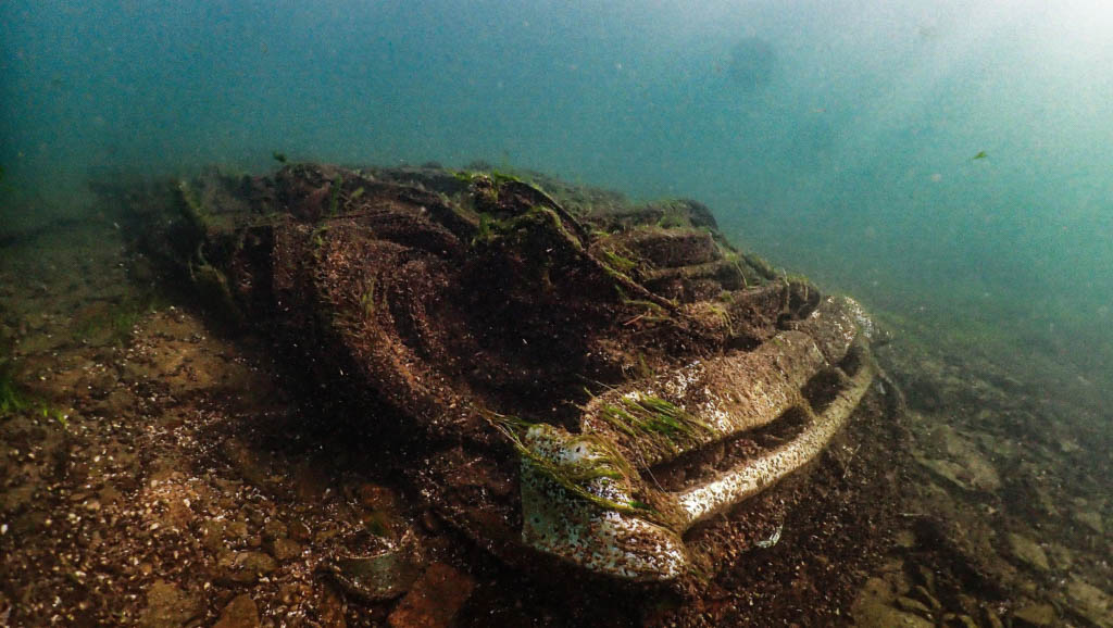
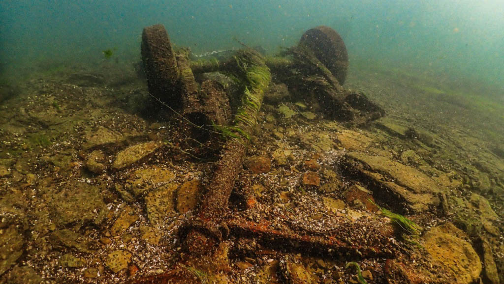
Have you ever wanted to scuba dive the Niagara River? Come along with Bill Lindberg on a dive and see what divers see.
Niagara River
The Niagara River flows from Lake Erie to Lake Ontario in the north. It forms part of the border between the Canadian province of Ontario (on the west) and the state of New York (on the east). There are several theories as to how the river got its name. According to Iroquoian scholar Bruce Trigger, the name Niagara comes from a branch of the locally residing native Neutral Confederacy, who are referred to as the Niagagarega people on several late-17th-century French maps of the area. It derives from the name of an Iroquois town called Ongniaahra, which means “point of land cut in two,” according to George R. Stewart.
The river, which is sometimes referred to as a strait, is about 58 kilometres (36 miles) long and runs through Niagara Falls. In the last 12,000 years, the falls have moved approximately 11 kilometres (6.8 miles) upstream from the Niagara Escarpment, resulting in a gorge below the falls. The diversion of the river for power generation has significantly reduced the rate of erosion today. The total elevation change along the river is 99 meters (325 feet). The Niagara Gorge, which runs downstream from the Falls, contains the Niagara Whirlpool and another section of rapids.
The Niagara River and Falls have been known outside of North America since the late 17th century, when French explorer Father Louis Hennepin first saw them. In A New Discovery of a Vast Country in America (1698), he wrote about his travels.
The Niagara River was the site of America’s first recorded railway. In 1764, John Montresor (1736-1799), a British military engineer, built an inclined wooden tramway. It was known as “The Cradles” and “The Old Lewiston Incline,” and it featured loaded carts being dragged up wooden rails by rope. It aided in the transportation of goods across the Niagara Escarpment in present-day Lewiston, New York.
Several battles occurred along the Niagara River, which was historically defended by Fort George (Canadian side), Fort Niagara (American side), and Fort Erie (Canadian side) at the river’s mouth and Fort Erie (Canadian side) at the river’s head. During the Seven Years’ War (also known as the French and Indian War in the United States) and the American Revolutionary War, these forts were crucial. During the War of 1812, the Battle of Queenston Heights took place near the river.
Before the American Civil War, the river was an important route to freedom, with many African-Americans escaping slavery on the Underground Railroad crossing it to find freedom in Canada. In Lewiston, the Freedom Crossing Monument commemorates the bravery of those who crossed the river.
Dive Statistics
Bill stated in the video; this is an advanced dive due to the strong current usually around 8km/h or 5miles/h. It varies depending on hydro requirements at the falls and width of the river. Narrow sections between the peace bridge and international train bridge is where the flow is the fastest, as it widens out downstream from international train bridge. With being wider there, the current slows down a little. It is impossible to stay stationary in the river due to force of the current. Bill also advised in the video that a diver that knows the river/current should accompany you.
Bill Lindberg
Niagara Falls is also known as “The Honeymoon Capital,” attracting many newlyweds.
Thanks to Bill Lindberg for his dive statistics and video contribution.


