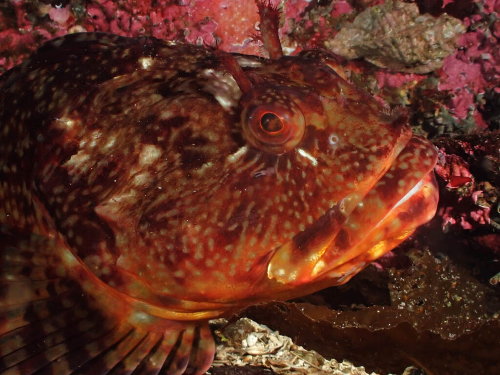
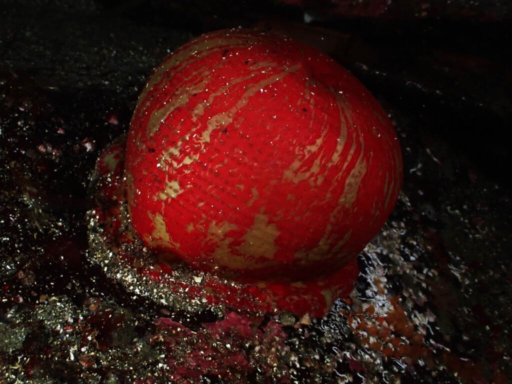
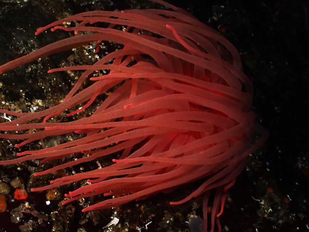
Dean Driver’s recent scuba dive off Gabriola Island. He visited an octopus and a cabazon! He reported: Good visibility but strong currents in spots.
One of the Gulf Islands in the Georgia Strait in British Columbia (BC), Canada, is Gabriola Island. It is located on Vancouver Island, approximately 5 kilometres (3.1 miles) east of Nanaimo. A 20-minute boat service connects the two. With 4,500 residents, it has a land area of roughly 57.6 square kilometres (22.2 sq mi).
Gabriola is a part of the ancestral domain of the Snunéymux, an anglicized variant of whose name the neighbouring city of Nanaimo bears. An approximately 1500 BC cave burial represents the earliest archeological record found on Gabriola.
The island is well-known for its petroglyphs, which are nearly impossible to date even though it is generally accepted that they date back thousands of years. They are deteriorating quickly because they are sculpted in comparatively soft sandstone.
The population of the island rises significantly in the summer. Even in the first part of the 20th century, families came from Nanaimo or Vancouver to estivate, spending weeks or months living a simpler, rural life on the island. Due to the sun, music, art, and laid-back atmosphere, Gabriola attracts roughly 2,000 tourists annually in the twenty-first century, momentarily increasing the island’s population to 6,000.
In close proximity to Gabriola are the following islands and islets: Mudge Island, Link Island, and DeCourcy Island to the south; the Flat Top Islands, Breakwater Island, and Valdes Island to the east; and Snake Island and Entrance Island to the north. The primary island highway is the 30-kilometer (18.6-mile) North Road-South Road circle. It travels close to most locations on the island, including Descanso Bay Ferry Terminal.
In addition to Descanso Bay Regional Park and a neighbouring community park close to the ferry terminal, the island features three provincial parks: Gabriela Sands Provincial Park on the northwest shore, Sandwell Provincial Park on the northeast shore, and Drumbeg Provincial Park on the east shore. This community park preserves the large coastal sandstone formations known as the Malaspina Galleries. Alejandro Malaspina, a Spanish adventurer from the 18th century, is the name of the formations.
In 2006, there were 2,744 private homes on Gabriola, of which 1,998 were occupied by regular residents. Compared to the median age of 40.8 in British Columbia, the population’s median age was 52.9 years. 2,090 women and 1,960 men made up the total population.
The island’s dry summers contribute to its cool Mediterranean summer climate. It is categorically placed in the Oceanic zone by other climatic categorization systems. The island is cool and humid, with 138 wet days on average annually and seven days with more than 0.2 centimetres (0.08 in) of snowfall. There are hardly ever days that reach 30 °C (86 °F) or higher on average—less than one per year.About 25 days a year have temperatures below 0 °C (32 °F). The average temperature in January is 3.7 °C (39 °F), and there is an average of 130 millimetres (5 in) of precipitation. The winters are cold and wet.
Dive Report
Thanks to Dean Driver for his photo contributions and dive report.


