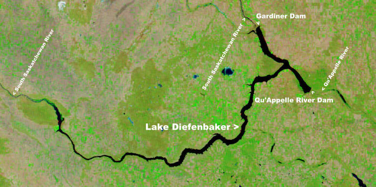
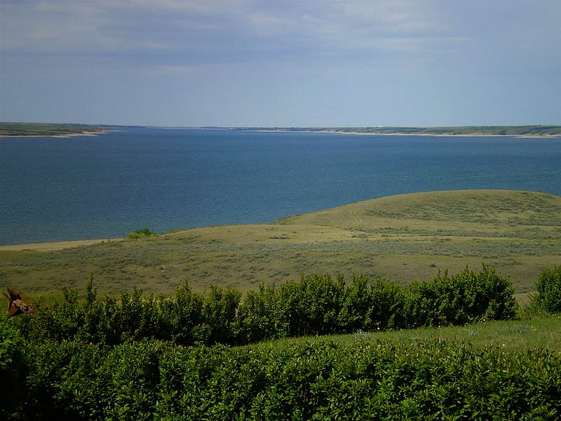
The largest body of water in southern Saskatchewan is Lake Diefenbaker, though Last Mountain Lake is the largest naturally occurring one. The lake was named after former Canadian Prime Minister John G. Diefenbaker that served as Canada’s Prime Minister from 1957–1963.
Lake Diefenbaker is a reservoir and bifurcation (division into two branches) lake in Southern Saskatchewan, Canada. It was created by the construction of the Gardiner Dam and the Qu’Appelle River Dam, which were built across the South Saskatchewan and Qu’Appelle Rivers, respectively. The lake was filled in 1967, after construction began in 1959. The lake is 225 kilometres (140 miles) long and has a shoreline of approximately 800 kilometres (500 miles). It has a maximum depth of 66 metres (217 feet), and the water levels fluctuate 3–9 metres (9–27 feet) every year.
On the shores of Lake Diefenbaker, there are three provincial parks and three regional parks: Danielson Provincial Park, Douglas Provincial Park, Saskatchewan Landing Provincial Park, Palliser Regional Park, Outlook Regional Park, and Prairie Lake Regional Park.

Fishing, boating, and camping are examples of recreational activities. Elbow, Saskatchewan has a marina for boat storage and house boat rentals. There are 26 native and stocked fish species in Lake Diefenbaker. Burbot, walleye, northern pike, lake whitefish, lake trout, sauger, goldeye, cisco, yellow perch, rainbow trout, lake sturgeon, longnose sucker, white sucker, shorthead redhorse, and Atlantic salmon are among the species. In the lake, the current world-record rainbow trout and world-record burbot were caught. The lake, along with Battle Creek (Milk River), are Saskatchewan’s only two bodies of water that support a reproducing population of rainbow trout.
The Riverhurst Ferry, a cable ferry that operates across Lake Diefenbaker near Riverhurst, Saskatchewan, is the only remaining ferry on the lake.
The sandy beaches of the lake provide ideal habitat for the endangered piping plover.
The shores are vulnerable to erosion due to long stretches of open water and poorly consolidated shore materials. Bank recession rates have commonly ranged up to 3 metres per year between 1968 and 1992, with higher rates in exposed areas.


